The Most Constructed Landscape series represents the culmination of earlier work and thinking about the landscape, and extends the Extra-territorial Landscape series.
It reflects on its manifold layers as cultural artefact, geographic environment, altered nature, and imagined territory.
Through an initial project that aimed to record, document, and classify the entirety of the Lebanese landscape, a particular history of the territory emerged, its specific geographic and topographic structure rendered visible.
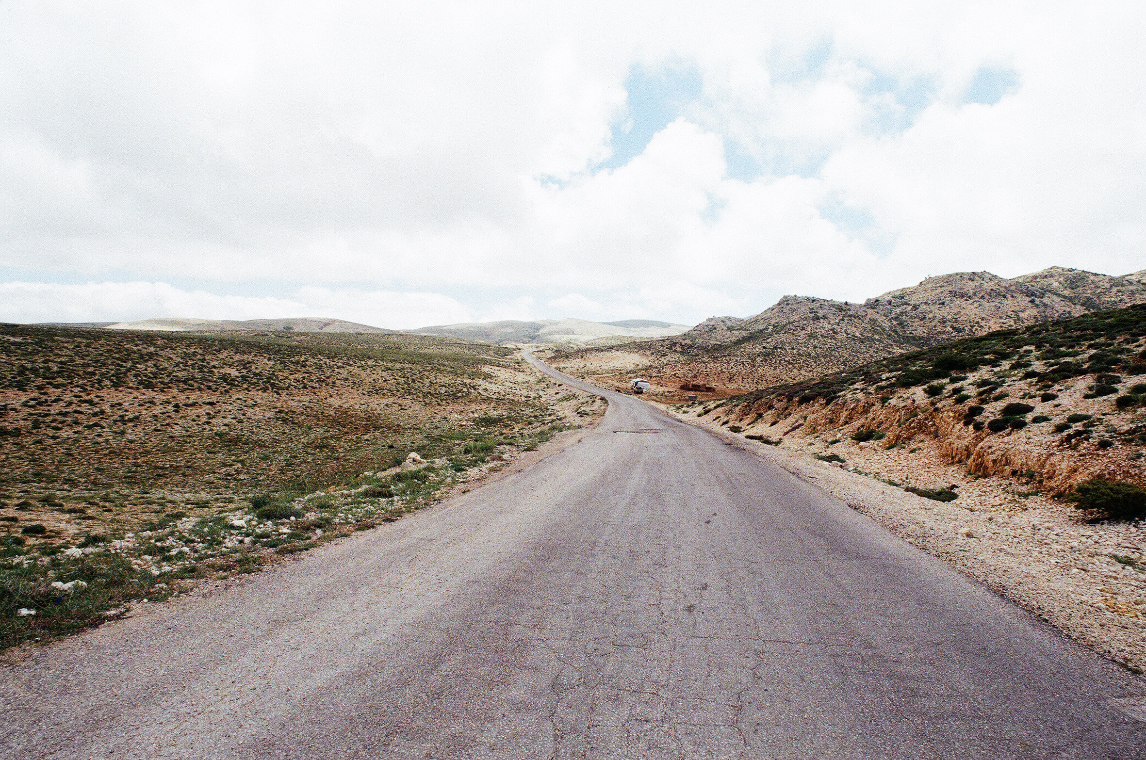
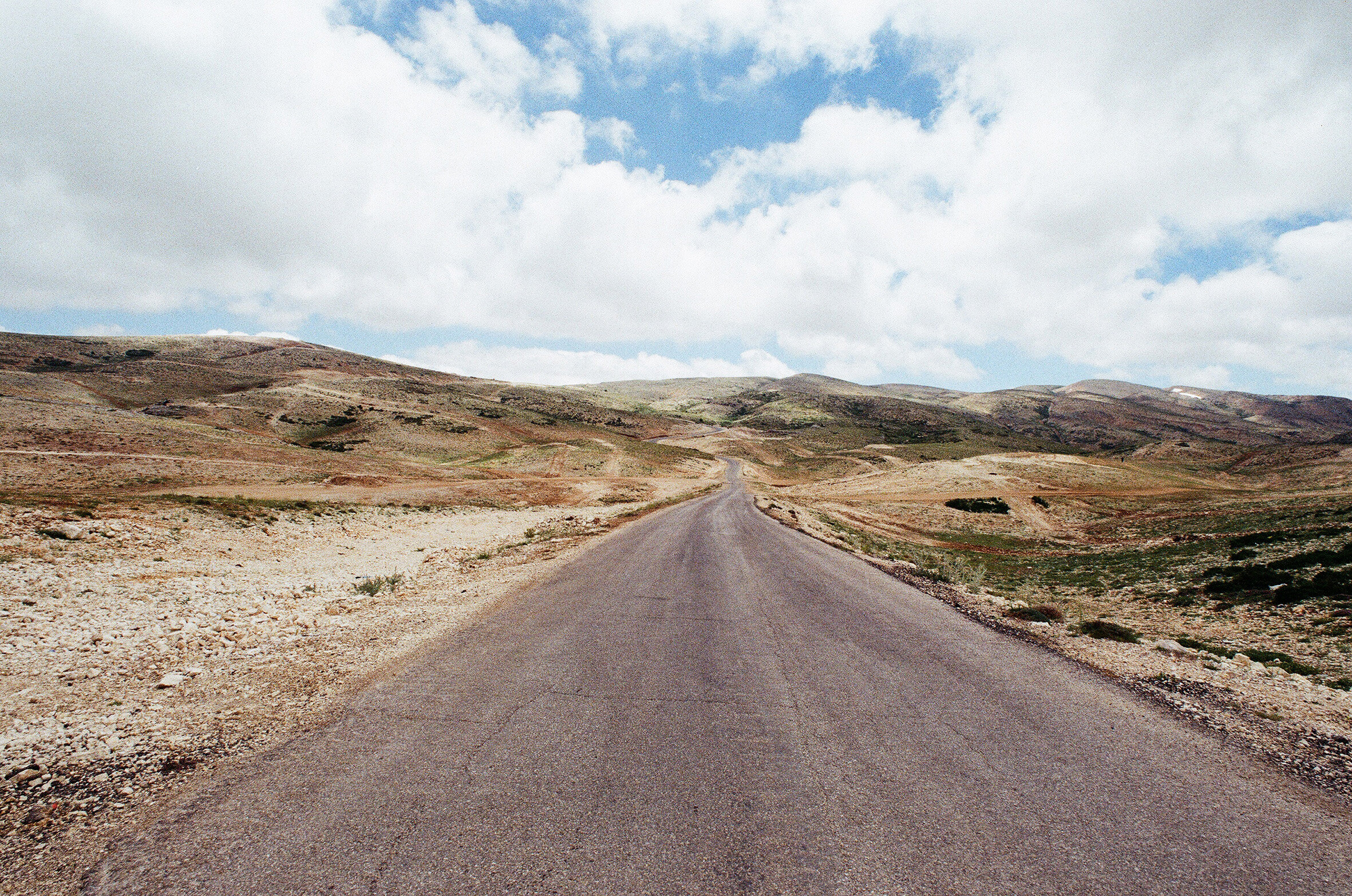
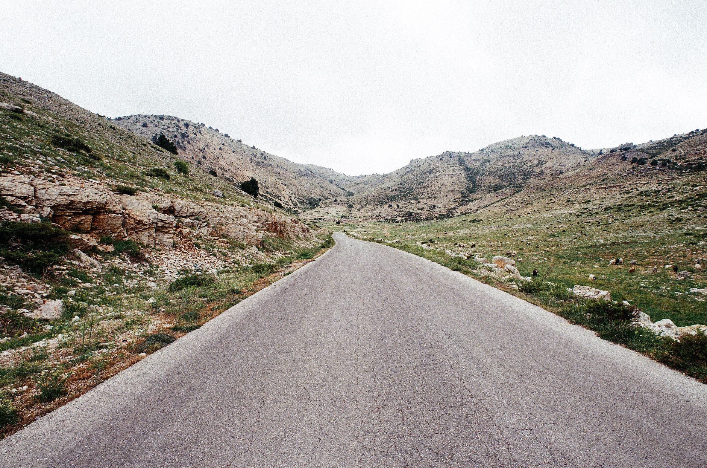
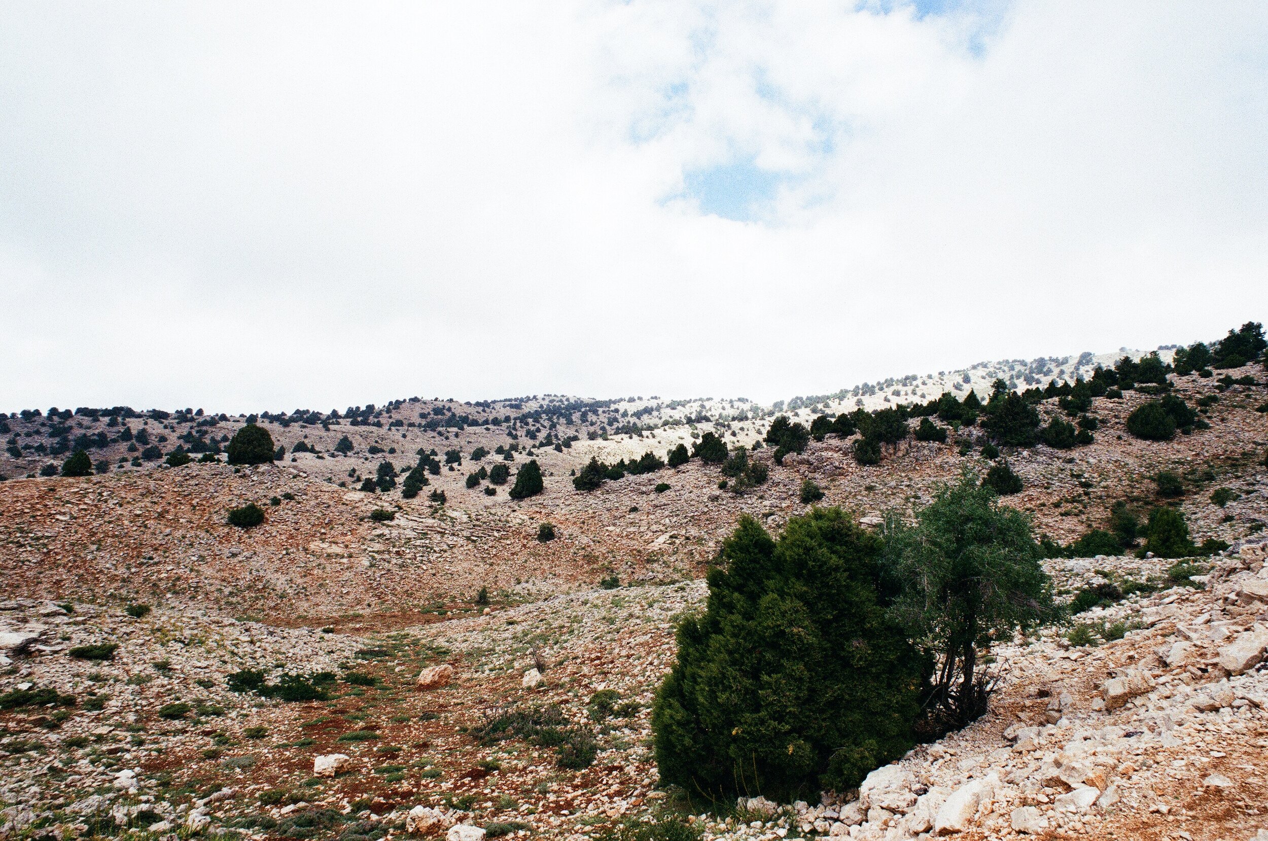
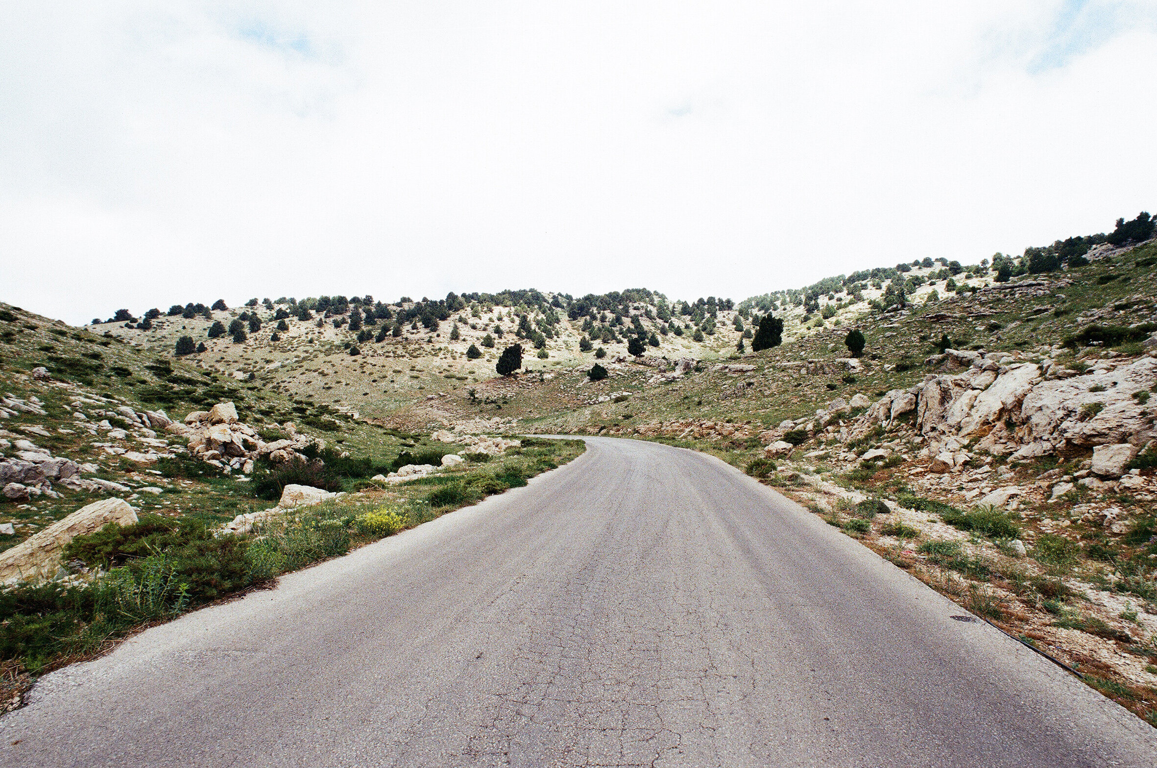
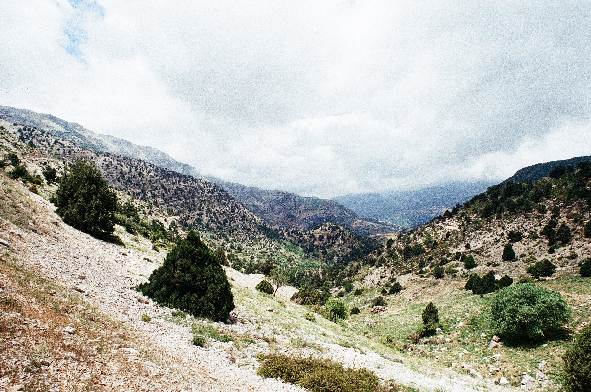
This series focuses on a single road that crosses one of the highest points of the northern ridge of Mount Lebanon, linking the high remote villages of the western slopes with the Beqaa valley.
The ridges of Mount Lebanon reveal the history of the territory as an assemblage of separate independent units of administration.
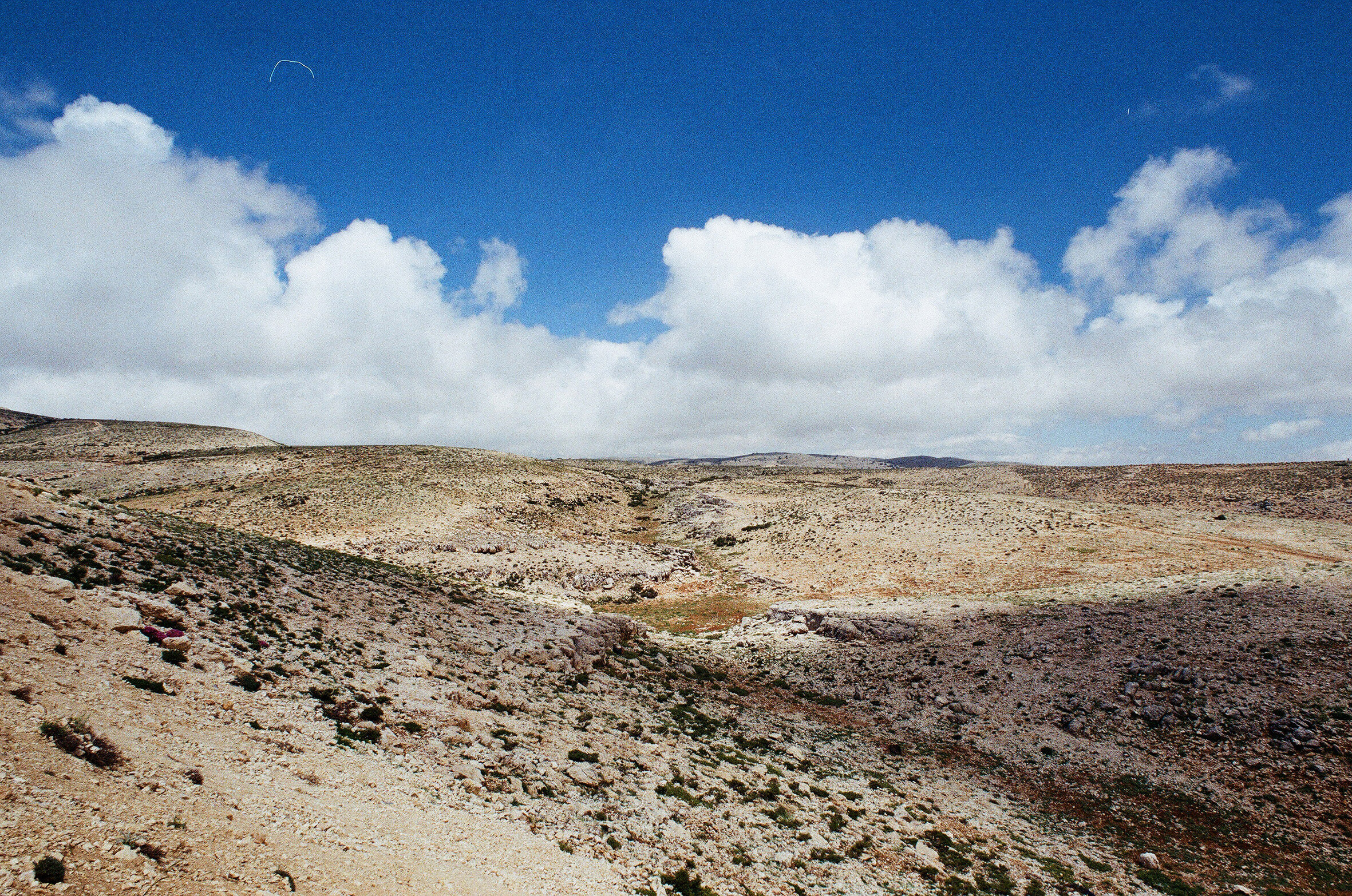
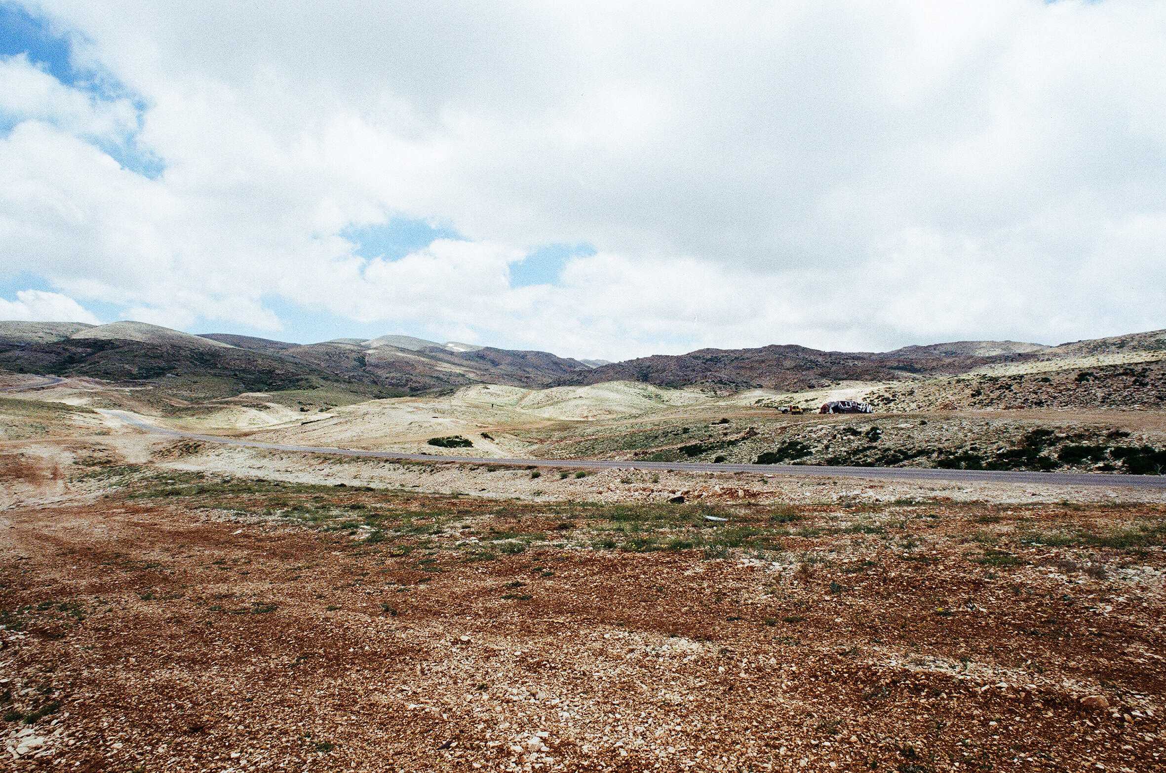
Contemporary districts and borders straddle across similar topographic and geographic landscapes. But in contrast to the roads that link them, the summits of Mount Lebanon lie forgotten, seemingly outside the productive environment of our territory.
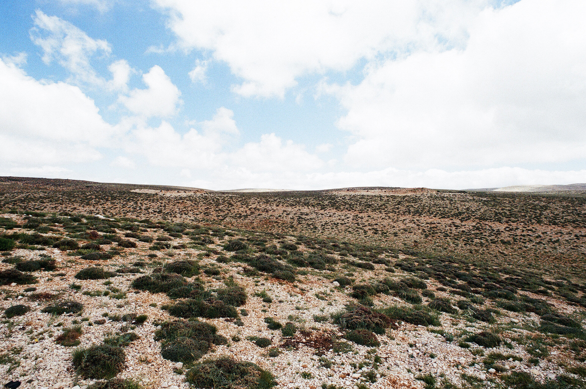
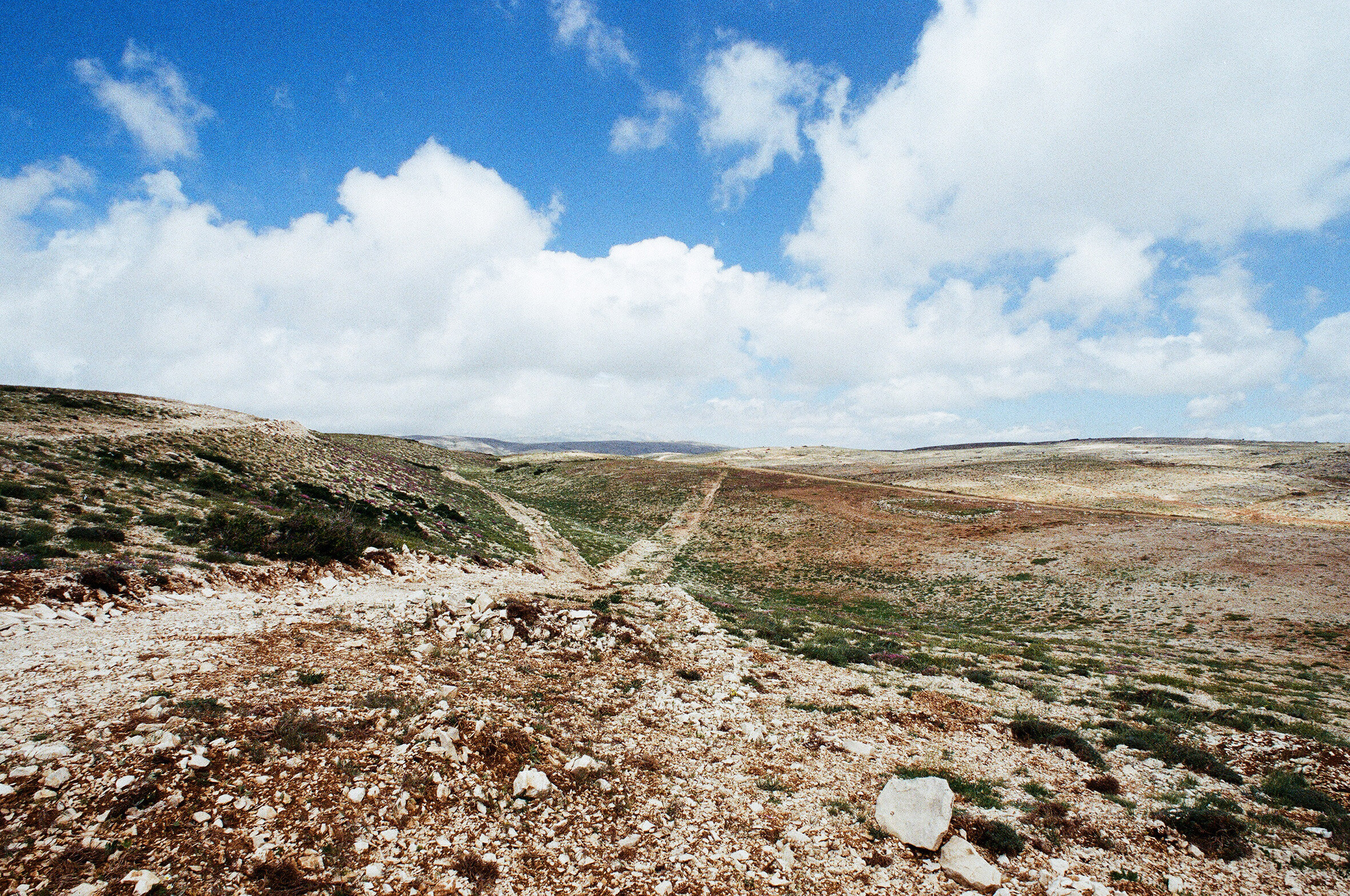
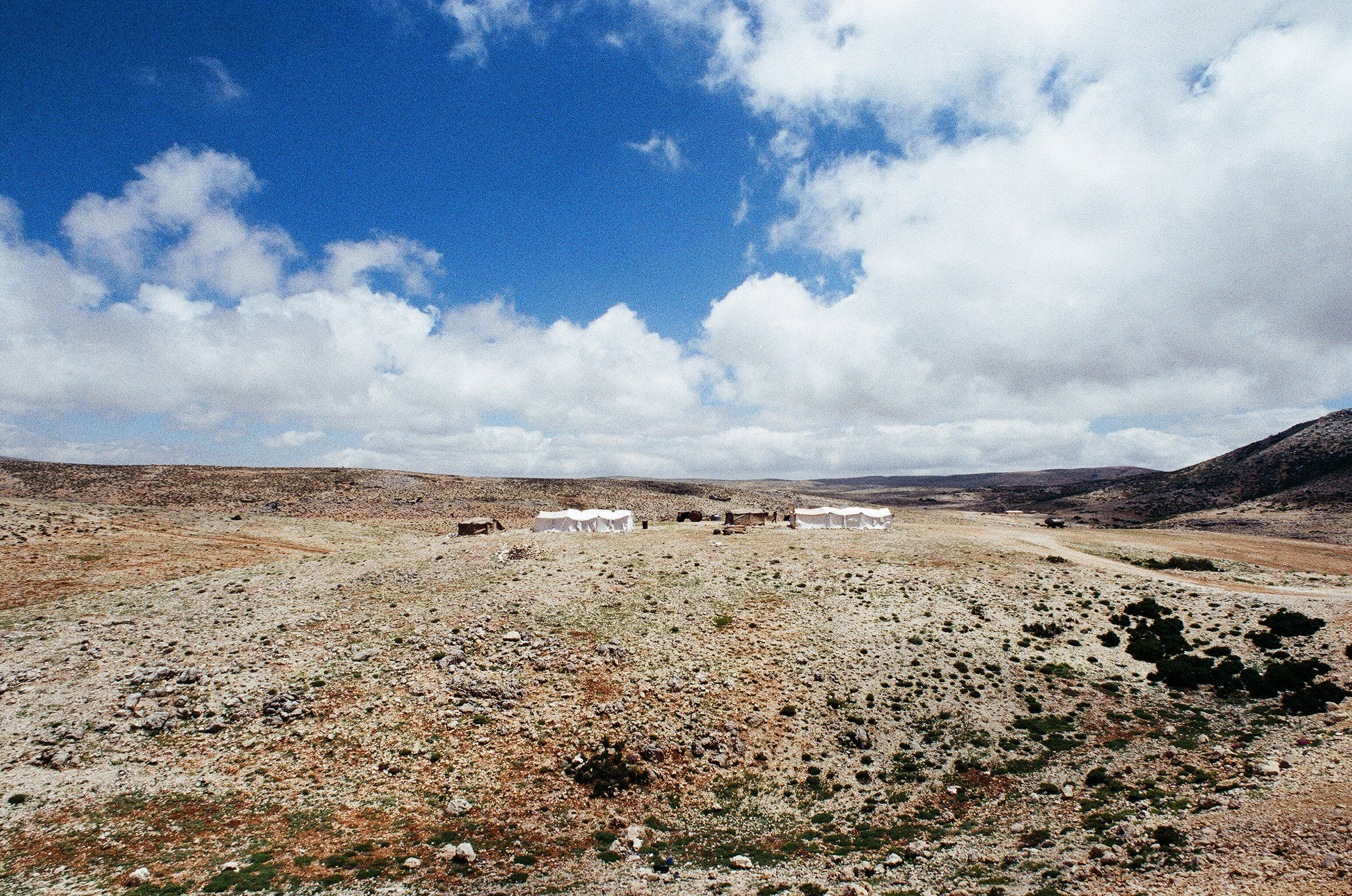
Unlike their representation on maps, the summits are vast plateaux; arid, empty, almost virgin. Yet this ostensibly untouched nature is disrupted by unusual signs of life: A few tents, a line across the earth, rusting metal parts.
The photos attempt to narrate this constructed-ness of the landscape, despite its apparent abandonment.
An important aspect of the project lies in the selection of film photography as a medium, chosen as sole facilitator between my subjective vision and the immeasurable landscape.
Ultimately, the photos betray their intended aim. The landscape is immeasurable, unclassifiable, fleeting.
Any attempt to capture it remains subjective; both a vision of a constructed territory and a constructed vision of an imaginary landscape.